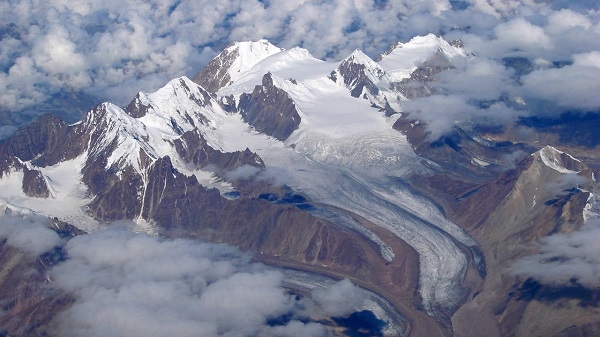
Proposal initiated to study the depth of Himalayan glaciers
20 Mar 2021 12:03:37
New Delhi, Mar 20: The National Centre for Polar and Ocean Research (NCPOR), under the Ministry of Earth Sciences, has initiated a proposal to estimate thickness of Himalayan glaciers using innovative airborne radar surveys in collaboration with established Indian researchers in India and abroad.

A pilot study is proposed in Lahaul-Spiti basin of Himachal Pradesh for customizing the technique and methods in initial phase followed by Airborne radar surveys across representative sub-basins of Indus, Ganga and Brahmaputra basins in the next phase. No specific funds have been allocated pending the finalization of project, Airborne radar surveys are proposed to estimate the thickness of Himalayan glaciers.
Also read: NITI Aayog, AIM partners to upskill EdTech startups in India
Different techniques like geophysical techniques and Ground Penetrating Radar (GPR) profiling have been employed for glacier depth assessment by Geological Survey of India (GSI). Indian Space Research Organization (ISRO) carries out Research and Development study to estimate thickness of major Himalayan glaciers using remote sensing based methods.
The design, fabrication and testing of compact and lightweight radar and antennas suitable for helicopter-based
operations are proposed for which sufficient expertise is available in India and with overseas Indians. The tenure of the project and the number of project personnel are not yet finalized.